
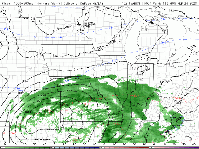
This winter has been a rollercoaster! I was riding outside yesterday with temperatures in double digit celsius (55F). Well this was the peak of the ride and now we are about to come crashing down. Whenever you have unseasonal warmth there has to be a gradient in temperature somewhere and nature likes to destroy those gradients with nice juicy weather systems. The story for this system is all in the middle of the atmosphere. 
The above figure shows the vorticity of the winds. Or how much they are spinning. There is a whole heap of math I could lay on you but simply put vorticity helps air go up. And rising air (also called unstable air) allows clouds to form as it cools as it rises becoming saturated. So the other thing we need is moisture.

The figure above shows temperature (red) and dewpoint (green, a measure of moisture content) throughout the atmosphere and is referred to as a Skew T Log P diagram. To the right of the temperature trace you can see the wind barbs. The direction is from the “flags” to the tip. In this case we can see winds from the North East up to about 3km. These are coming right off the lake! The lake is running very ice free at the moment so those cold winds will be fully saturated as they move over the water. And with the aforementioned vorticity forcing the air to rise we should see very effective “wringing out” of the air like a sponge! Now, there is one more ingredient. To get real good snow you need there to be plentiful saturated air in the dendritic growth zone (see previous post).

A second forecast sounding (from the “North American Model, NAM“) , shown above, is truly remarkable. For one the vorticity is forcing ascent so effectively you have a rapid cooling of temperatures with height. This is very unstable air. Second, you have a deep slab (~3km) of saturated air between -10c and -15c. If this verifies this will be a snow making machine!
The only real part spoiler will be if the models (simulations) are being initialized with bad data. This is entirely possible (and I think the NWS in Chicago are thinking this given their forecast) and the surface layer of air is way warmer that the model analyses (simulation time step zero). Prediction: If it pans out the way the NAM/GFS are predicting we will see rain turn to light snow Tuesday morning around 4am. Snow will remain light as the vorticity maximum remains to our west until around 3pm when snow will begin to intensify (if it is not rain). Overnight the party really starts with the most intense snowfall rates right in time for Wednesday morning’s commute. Again, big uncertainty is rain versus snow. My bet is for that cold air to replace the warmer airmass we have over us pretty quickly. Despite the warm weather our closest soil temperature measurement in St Charles shows 4in temps of 33F. So we will not see much heat coming from the soil into the air. The Chicago region could see from 8 to 14 inches for this event. However this is a complex system and small errors in the location of that high vorticity air could have a big impact. FUN TIMES!

“However this is a complex system…” Always need an out! 😉
LikeLike
Well the out was the in this time!
LikeLiked by 1 person